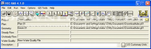
River Analysis System (RAS) to perform water flow analysis and computations.
Simulates the complete hydrologic processes of dendritic watershed systems.
WCG uses idle computer time to help tackle projects that benefit humanity.
The system was designed for users and application programs to retrieve data.
It converts between the ETRS89 and OSGB36 National Grid coordinate systems.